Assess carbon emission and fixation of plants
This WP will estimate CO2 emissions and gains by comparing woody biomass across landuse types (LC, CC, near-natural vegetation). It is assumed that biomass loss due to woodcutting is among the most important sources of greenhouse gas emissions, both on young and comparatively old fields. After clearing, dead wood is typically converted to charcoal or directly used as fuelwood to meet domestic energy needs. Hence, comparing woody biomass across land-use types should give a good proxy for GHG emissions caused by forest clearing. Likewise, carbon sequestration rates can be calculated on the basis of tree species’ growth rates. WP 3 includes the following tasks:
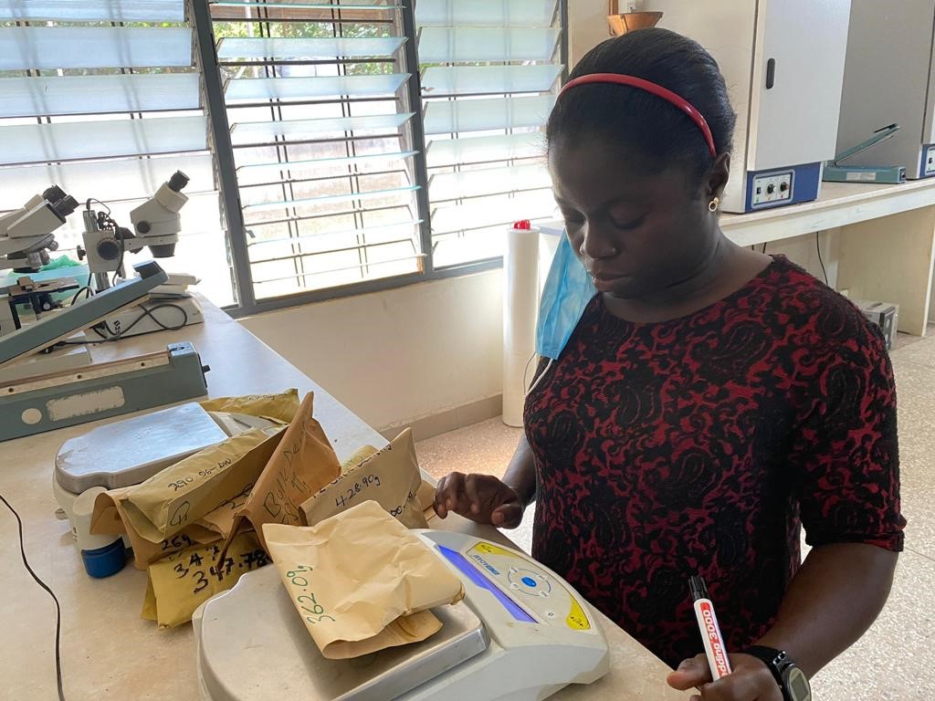
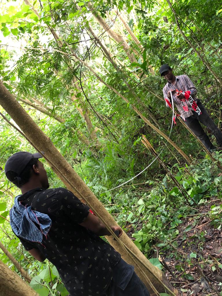
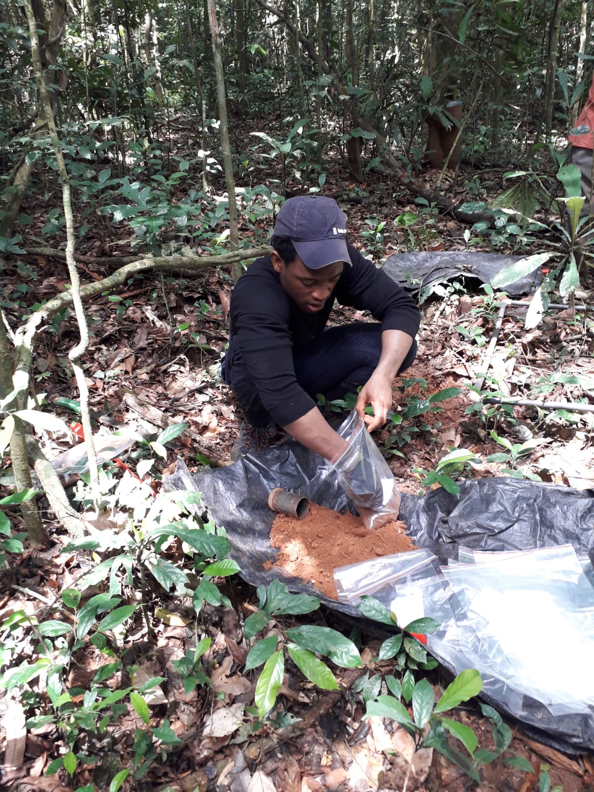
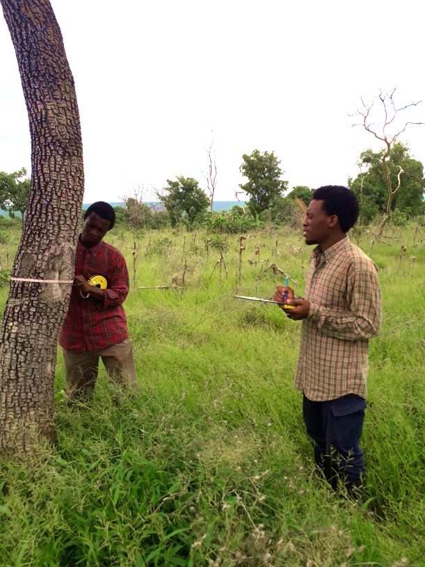
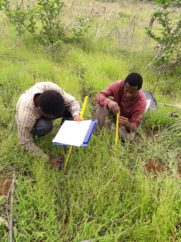
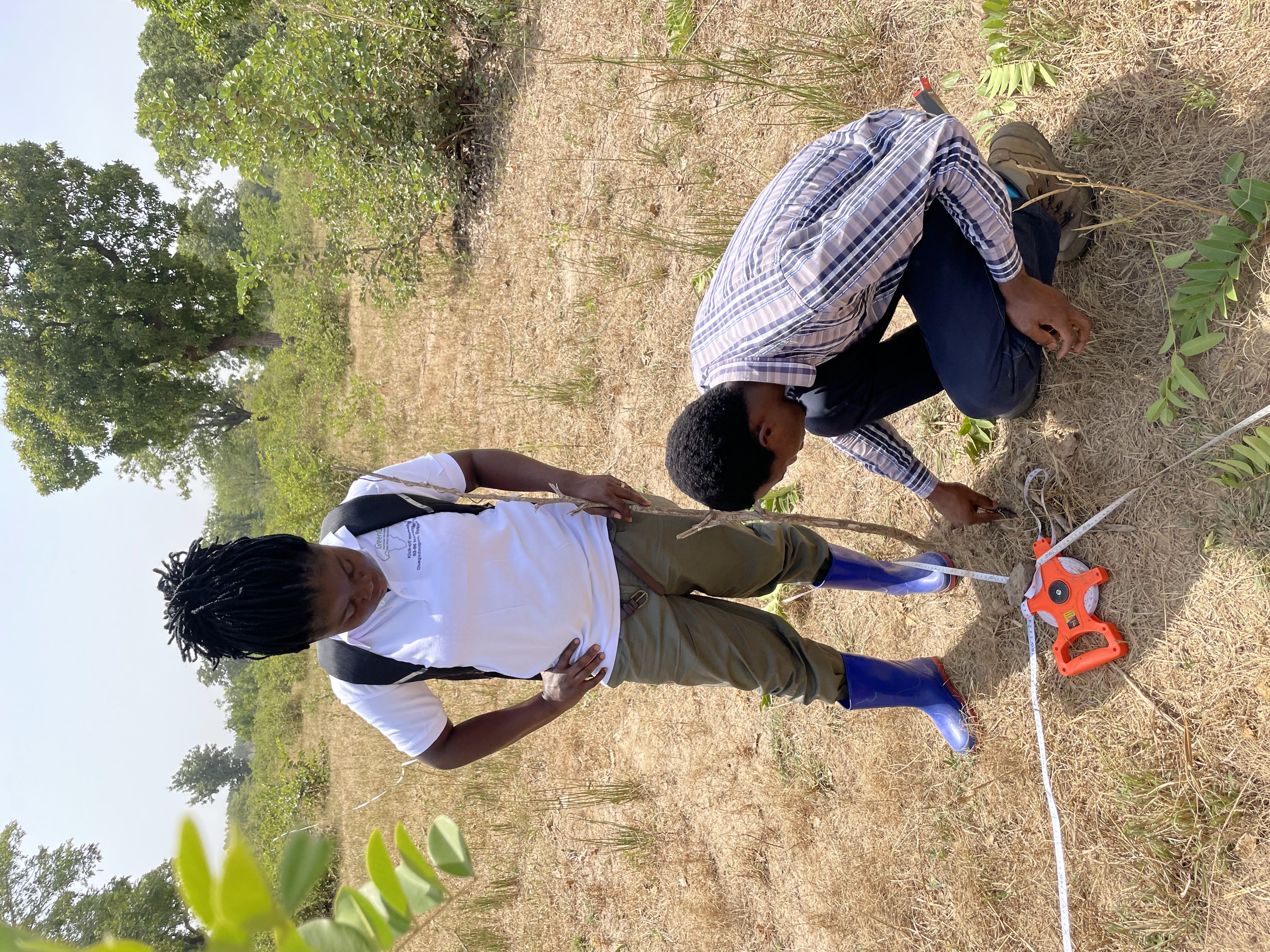
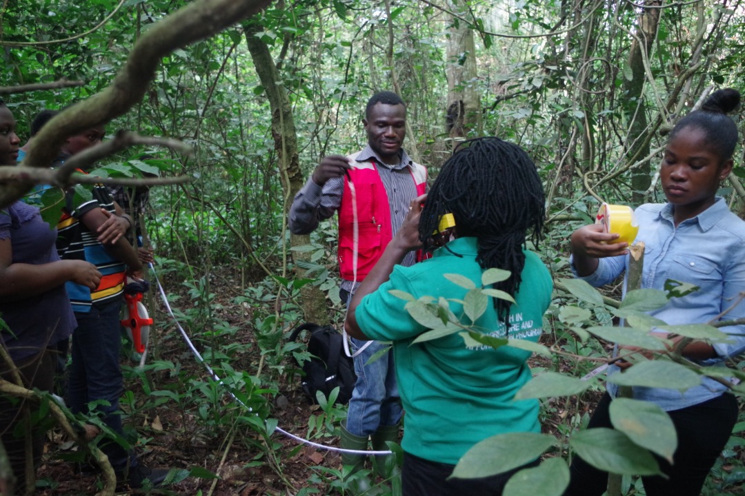
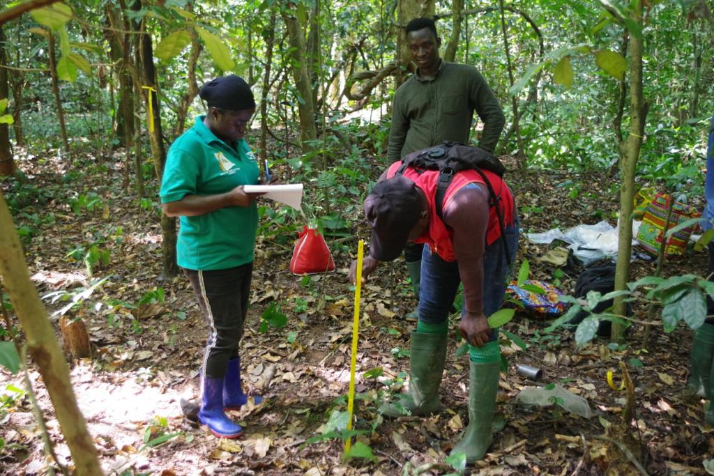
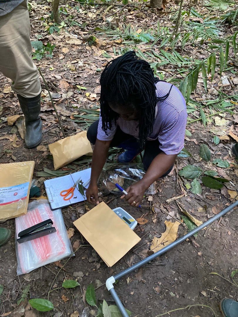
- Performance of forest inventories: Woody plants will be censored in each land-use type within forest inventory plots. We will sample 360 plots (6 sites along the climate gradient x 3 land-use types x 20 replicates); in the CC (“Cropland Remaining Cropland”) case, plots will be located on the ten fields per site sampled for other GHG emissions (see WP 5). We will quantify above- and belowground plant biomass and related carbon stocks by validating and applying non-destructive methods. We plan for 20 x 50 m plots, but will adjust plot size to tree density. We will record trees’ and shrubs’ species, identity and measure trunk diameter and canopy metrics (area, density and height). Adult trees (trunk diameter >5 cm) will be marked permanently to allow repeated observations. Generic allometric models will be used to estimate aboveground biomass from trunk diameter, canopy height and wood specific density (Chave et al., 2014). The latter will be obtained from various sources such as the Global Wood Density database (Chave et al. 2009); see WP 1 for details. Estimations will be validated via wood samples to account for regional-scale differences in specific gravity. Woody root biomass will be estimated with a fixed root-shoot ratio (Addo-Danso et al., 2016). In addition to live trees, the carbon stocks of deadwood (both standing and fallen deadwood) will also be assessed in all sample plots. For standing deadwood, height and diameter will be recorded as done for live trees and the biomass will be calculated. In the case of fallen deadwood, the diameter at both ends and midpoint, and the length of the fallen tree or branch will be measured and the biomass will be calculated.
- Assessment of the grass layer: Within each plot sampled for task 3.1, the grass layer will be sampled on 100 m² subplots. We will use a novel allometric method (see WP 2.2) to estimate herbaceous species’ aboveground biomass from cover, height and phenology.
- Calculation of carbon stocks per land-use type, and upscaling: Biomass data collected in the tree and grass layer will be aggregated on the level of species and functional groups (e.g. N-fixing and non-N-fixing plants), and converted into respective carbon stocks (biomass x 0.47; Brown, 1997). Spatial upscaling to the level of fields and sites will be done based on fine-resolution remote sensing data on land-cover distribution (see WP 8).
Project members involved:
Eunice Okyere-Agyapong, James N. Ofori and Maximus T. Anochirim with Dr. Reginald Guuroh and Prof. Dr. Stephen Adu-Bredu (CSIR-FORIG / UP)
Valaire Yaro with Prof. Dr. Oumarou Ouédraogo (UJKZ)
Alkassoum Garba with Dr. Mounkaila Mohamed (UAM)