Kenya’s geothermal energy potential is estimated at 10,000 MW within the Kenya Rift, making it the first in Africa and 8th globally. KenGen is the leading developer and generator of geothermal energy in Kenya with a capacity of about 800 MW. But Kenya needs more geothermal energy to become energetically independent and a green, low-cost electricity producer by 2030. In addition, Kenya is planning to produce hydrogen to be sold in Germany and other European countries in the near future. Kenya has more abundant geothermal resources that have not been developed due to technical and financial challenges. The country’s desire is therefore to work toward sustaining and expanding generation from the Olkaria geothermal field by an additional 140 MW and expand toward new geothermal fields. Over 300 deep wells (2500 – 3500 m depth) have been drilled, with the highest density found in the Olkaria geothermal field. Of these wells the reservoir temperatures are above 250°C. Other areas, which have been developed, include the caldera volcanoes Menengai and Paka; these sites generate 900 MW, which provides ca. 50% of Kenya’s energy. In addition to electricity generation other direct uses include balneotherapy, agriculture, residential and industrial sector heating.
In order to ensure possibility for expansion and sustainability of the strategic geothermal resource, proper understanding of the reservoir is essential. Understanding of the reservoir requires detailed knowledge of the conceptual model of the geothermal fields, which depends on a profound understanding of the geology, petrology, and structural setting. In the wake of green energy agenda, geothermal development offers access to other resources such as, green hydrogen, ammonia, critical raw materials (e.g., lithium, helium) and carbon sequestration. Thus, there is need for increased funding, training and capacity development to meet the demand for professionals to develop this sector in future.
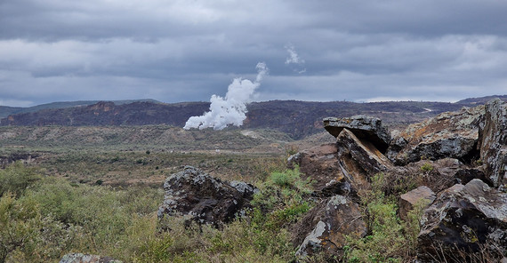
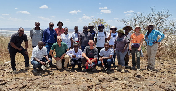
The 10-day field school and laboratory-based workshop combines aspects of detailed geologic data collection and their analysis as well as comparison with airborne and satellite-based data. For example, the 20-person Kenyan-German research team traversed the Olkaria geothermal field to generate a geological model that is combined with high-resolution airborne lidar topography and radar-satellite land-surface deformation data. The heat anomalies generated by the geothermal field and the extraction of hot water result in surface-elevation changes that can be used to better understand the field’s energy-generation capacity and potential. During the last ten days the research team has explored other field sites with geothermal energy potential in southern and central Kenya and looks forward to a continuation of joint work in the future.


