The Institute of Geosciences


The geosciences study the forces and processes that have driven the transformation of our planet for several billion years, creating ocean basins and mountains and destroying them again. This includes analyzing the formation of natural resources and their exploration with state-of-the-art recording techniques, assessing natural hazards and geohazards, the evolution of organisms and their relationship to the solid Earth, and increasingly, the impact of humans and global change on the Earth's surface, our habitat.

Our German-language Bachelor's program in Geosciences and English-language Master's programs in Geosciences and Remote Sensing, Geoinformation and Visualization, respectively, as well as the international doctoral program have the task of enabling students to apply a broad inventory of methods. This includes the development of a technical system and the ability to recognize interdisciplinary relationships and to transfer observations from the field into models. In doing so, we offer a variety of specialization options according to the methodological and content-related foci of the different research groups, various programs for the internationalization of studies, and first-class graduate training.

The institute plays a central role in the research focus Earth and Environmental Systems and is an active partner of the coordination platform Geo.X, which organizes the close network of earth and environmental science research institutions in the Berlin-Potsdam area. The institute currently also provides the president of the Geounion (Prof. M. R. Strecker).


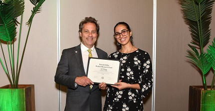
Master's Student in Geosciences Receives Award

The Quaternary Geology and Geomorphology Division of the Geological Society of America (GSA) honors the work of Asil Newigy. Please read more...

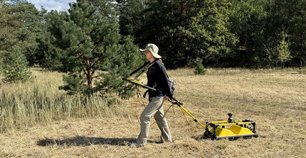
Studierende führt den Georadar-Schlitten entlang vorgegebener Profile über den Boden

Geophysicists and students of the University of Potsdam in Lenzen, Brandenburg

Georadar investigations bring the underground to light. Please read more....

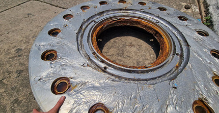
Abrasion of hydropower plant turbines due to increased sediment transport. Example from Nepal

Climate Change and the impact on many high-mountain rivers in Asia

Changes in sediment levels have a particularly strong impact on agriculture, water quality, flood management, and hydropower generation. Read more...

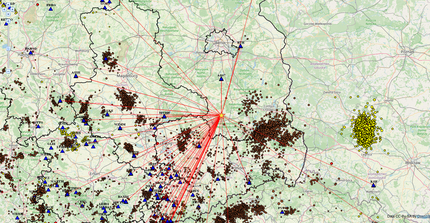
Figure 3 shows the directions to the relevant stations in map view. The low density in the northern direction is striking, as there are only three seismic stations in Berlin and Brandenburg

Earthquake near Herzberg / Doberlug-Kirchhain (southern Brandenburg)

On October 18, 2024 at 12:50 (10:50:52 UT), a magnitude 3.1 earthquake shook the area around Herzberg and Doberlug-Kirchhain.

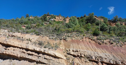
Fault in the Isabena Valley (Spain)

French-German field trip to the Pyrenees

As part of the German-French University four master students of the Geosciences program participated in a field trip in the pyrenees. Please read more....

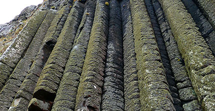
Giants-Causeway

Geoscientists from Potsdam presented their research at the European Mineral Conference 2024 Dublin

The European Mineralogical Conference 2024, held in Dublin, was a significant event for mineralogists, geologists, and Earth science professionals....

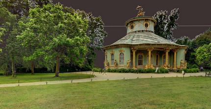
Teehaus als Punktwolke

Wie das Studium der Fernerkundung an der Uni Potsdam Geschichte und Hightech zusammenbringt

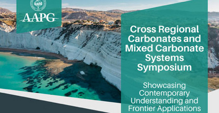
Küstenstreifen und Koferenzbezeichnung

AAPG/EAGE Symposium

Navigating the Future of carbonates and mixed systems in the age of energy sustainability

Prof. Oberhänsli im Gelände

Professor Oberhänsli is the new chair of the "Commission for the Geological Map of the World" (CGMW)

Professor Oberhänsli was elected President of one of the oldest geological commissions at the 37th International Geological Congress (IGC) 2024 ...

Abbildung zeigt einen Markasit

How are ore deposits formed?

“In the Ore Mountains, you can walk from the center of the former magma chamber up to the former surface of the earth within a day,” explains M. Korges

Volcanism and the occurrence of diamonds

New study shows: Escarpments and plateaus are formed when instabilities in the Earth's mantle erode cratonic keels, causing the interior....read more

Georadar Roundtable 2024 takes place at the University of Potsdam

The Institute of Geosciences is hosting the 15th Georadar Roundtable from September 25 to 27. Registrations are possible until June 16.

Research team led by Potsdam geoscientist Prof. Dr. Martin H. Trauth presents a new study:

First it flickers, then it tips... The transition between climate systems is examined more closely here. Read more...

Lagebesprechung unter Anwendung von Augmented Reality

This year´s transfer prize is awarded to structural geologist Gerold Zeilinger

At the Institute of Geosciences, he led the oKat-SIM project, among others, in which augmented reality (AR) was used to...read more

Map of the peninsula Reykjanes on Island

The 'Sound of the Volcano'

In their study, scientists working with Professor Eibl and colleagues from the GFZ German Research Centre are analysing seismic signals .....read more

Professor van der Beek in his office in front of shelve with geological samples

Peter van der Beek elected President of the European Geosciences Union

EGU: The most important European association for scientists in the fields of Earth, Planetary and Space science research with...read more...

View of the crater chain Sundhnúkurgígar on Iceland

Prof. Dr. Eva Eibl from the Institute of Geosciences

Geophysicist about volcanic eruptions on Iceland and what we can learn from them – listen to an interview with the ‘Profis’ on radioeins on Jan 20, 2024

Professor Wilke im Gespräch vor Gesteinsmustern und Bildschirm erläutert seine Forschung

Award for Mineralogy Professor

Professor Dr. Max Wilke newly elected Fellow of the Mineralogical Society of America and is thus honored for his scientific activities

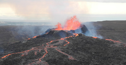
Excavators are building a wall to protect the Avartsengi power plant and Grindavik from a possible lava flow

Earthquakes on the Reykjanes Peninsula

Prof. Eva Eibl conducts research in Iceland: The earth shakes, trenches open up in the ground, roads tear apart - and then a volcano erupts. Read more...

Deformed Miocene redbeds infront of the Sierra Macón, Pocitos Basin, Puna Plateau, NW Argentina.

Dynamic history of the Andean Plateau - research sheds new light on the region

Within the last nine to 13 million years, the Puna Plateau in the south-central Andes has risen by a remarkable 2,000 meters, according to studies of stabl

Geothermalfeld von Olkaria

KAWI KWA TAIFA – Energy for the nation –

Potsdam and Kenyan Geosciences Researchers Investigate Geothermal Areas in the East African Rift Valley

Apfel, Laborflasche, Stifte, Bücher - Kinderuni 2023

Geosciences at the Children´s University 2023: Geophysicist Eva Eibl presents:

"Lava, Ashes and Toxic gases - The Secrets of Volcanoes"

The Geologist Martin Trauth presents:

Climate Change and Human Evolution in Africa

Karte der Erde zur Darstellung der Vegetationsdichte

Ecosystems threatened

Taylor Smith, together with his co-author establish new method for reliable estimates of vegetation resilience...read more...

Isabel Wapenhans during her 2-minute poster presentation

Thermo 2023 at Riva del Garda: Two presentation winners

Potsdam PhD students awarded: Isabel Wapenhans receives 1st prize for her 2-minute poster presentation, Lingxiao Gong also won an award for her notable pre